Yearly Archives: 2013

Tullameen Meadows, 15-16 Jun 2013

Chris N. in Tullameen Meadows:
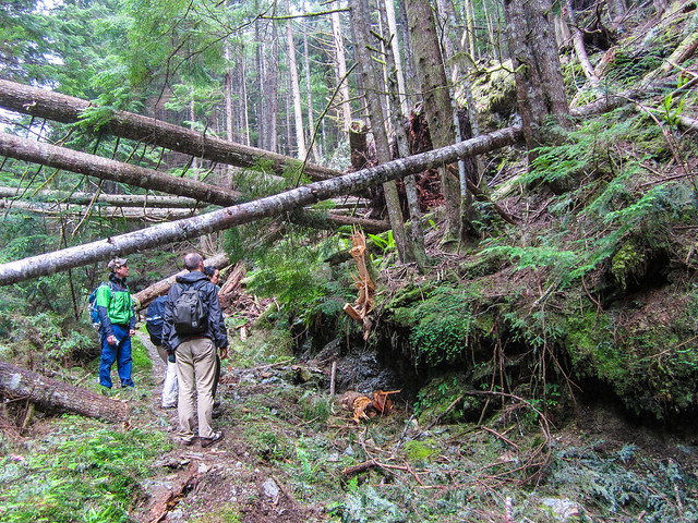
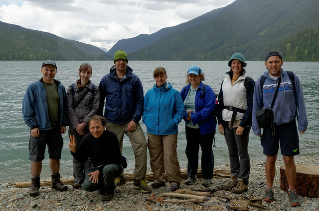
“Colleen and Rob joined me for a trip into the Cascade Recreation Area this past weekend. The trailhead is just past Rhododendron Flats in Manning Park. We elected to take the Whatcom Trail on the way up and encountered our first bit of snow about 100 m below the pass to Punchbowl Lake. We crossed over the Punchbowl outflow stream on a snowbridge and then back again lower down on the mostly submerged log bridge. Snow covered 90% of the trail between the pass and Snass View Camp but the campsite was largely melted out and dry. Trailhead to Snass View at an ever moderating pace took 7 hours. An after-dinner ramble was called due to dark but we were quite close to the hidden lair of the secretive snow frogs. The night was mild and the next day dawned bright and blue. We hiked down to Tulameen horse camp encountering an interesting clear water spring on the way (future site of our spa and resort). The trail was about 80% snow near Snass View but almost all traces of snow were gone from the Tulameen area. Lots of deer and elk sign but no actual sightings (except for the elk-on-walrus episode). We returned by the Dewdney trail following moose prints. Early on, it was obvious that feet were not going to stay dry with the numerous creek crossings. In several places, the trail was under a foot of running water. Snow disappeared around where the creek goes underground. From that point to Dry Lake, there was copious bear scat and trails tramped down through the lush vegetation. Dry Lake wasn’t (in that it was full of super-clear eerily blue water). Light on-and-off sprinkles started at a stop in a cedar grove where we listened to distant thunder rumbling. We got back to the trailhead 4 hours after leaving Snass View. We stopped at the Wildcat Grill between Hope and Chilliwack where we enjoyed food and a spectacular thunderstorm on the patio (and stayed moderately dry in the process). Road closures for paving on the 1 just north of the Port Mann caused a backup starting at the south end of the bridge and probably delayed our arrival in Vancouver by about 45 minutes (apparently, these start around 9 pm every night and would affect any late returns from any hikes to the east).”

Snass Creek is the trail.

Gambier Lake, 14 Jun 2013

Steve v. at Gambier Lake:
“Gambier Lake is more like a full day trip including 2 ferries, waiting, and a hike. The trail itself is mostly road and seems longer than the stats might suggest. The lake is nondescript, probably not worth the effort compared to other common lower mainland lake hikes. If you do have a burning desire to see Gambier, I suggest Mt. Killam or if you want to see the lake specifically, go with interesting people that you can chat with to fill the monotony as I did.

I went with Tamara and Emeric (who are keen to join up for a Summer of mid-week trips!), and Kristy and Duncan visiting from Australia. Unfortunately Sherron missed the ferry, and most of the day was grey and drizzly (though the sun did poke out at the end). A few take-aways from our trip should you want to do a Gambier trip:

  • Don’t miss the ferry!
  • The ferry to Langdale you only pay for once, but the small boat to Gambier from Langdale you pay for each way ($7 x2).
  • The General Store on the island seems closed (it used to be a big draw).
  • At Langdale, the food booth higher up the parking lot is WAY better.
  • The time estimates in most books for Gambier Lake are not generous, make sure you can get to your ferry by checking your speed often.
  • Big thanks are owed to the Gambier Island Conservancy for their hard work. They are a very good resource to use if hiking there: https://www.gambierc.ca/index.html”

Gambier Lake, June 2013

Mt Seymour cycling, 12 Jun 2013

Tu Loan cycling up Mt Seymour:
“This trip report almost did not happen. Due to problems with the service provider, TLT’s callout was sent out way past the sign-up deadline. Luckily, Emeric ignored the fine print and signed up to join her for the ride. After meeting at the Superstore in North Van, they rode to the base of Mt. Seymour to meet up with Chris M., a very last minute participant, with his classic model mountain bike. Lucky for him, this was TLT’s first callout and was just happy that anyone would want to join her for the trek up Seymour!

The weather couldn’t have been better, with blue skies and a slight coolness in the air. Wildflowers on the side of the road prettified the trip. A fawn was also spotted. These were all planned by the organizer, of course. Animated chatter could be heard all the way up to km 10, mostly from TLT. The boys put up with it until their inner-Hesjedals took over and cranked it up for the last two km, which also happened to be the steepest part of the ride. They were kind enough to double back when they reached the top to ride with TLT to the finish line. How chivalrous!

They basked in their glory for a few minutes before making the quick and cold descent. It took 1 hour 20 mins to climb from the base and about 10 mins to fly down.”

Mt Seymour callout

Cheakamus Lake, 26 May 2013

Andy at Cheakamus Lake:
“I’d forgotten just how nice this trail can be. If you’re thinking of a good little leg-stretcher, Cheakamus Lake should be on your list for sure, especially at this time of year with the forest flowers at the start of their bloom. Our full group of eight chatted its way up to the Singing Creek campground and back, hardly noticing the distance and time. No snow and only one fallen tree to go under/over/around. The road is in decent shape and 2wd can make it to the trailhead easily – just take it slow as there are many potholes. The few drops of rain that fell went unnoticed, and the sun came out again on our return. A hungry pika kept us entertained for a few minutes, munching its way through some of the horsetails. A great group – thanks all for coming out and making this hike such a good one! The only thing that could have improved this hike would have been a bear sighting… Oh wait – we got that on the drive home!”

Cheakamus Lake, 26 May 2013

Baden-Powell Trail, 24 May 2013

Steve on Baden Powell (east):
“A slim response to my Friday callout dropped from 3 to just 2 of us, but Merv was on board with doing a reduced sized hike just the same. I’ve done the one-way version of this many times in both directions, but by leaving a car in Deep Cove and driving to Hyannis Drive we minimized the driving and maximized the hiking for this half distance trip, plus dropping Merv at his car was on my way back to the bridge with hardly a detour.

The weather was with us, a blue sky day, not too hot. We discussed the many trips each of us had done and allow me to say I was impressed by some of the killer ascents my partner for the day had tackled in previous seasons.

As we arrived in Grey Rock it was apparent the walk out to the cove was going to be far less peaceful than the first part of our trip…

We were done before noon and decided to get a Honey’s donut another time.”

Baden Powell, May 2013

Tunnel Bluffs, 19 May 2013

Stephen H. at Tunnel Bluffs:
“Chris, Colleen, Ida, Ivy, Leane, Sebastien, Semiral, and Teresa joined me for a great hike up the well-marked Tunnel Point Trail near Lions Bay. The most dangerous part of this hike: walking across the Sea to Sky Highway to and from the trailhead. Lots of viewpoints provided plenty of opportunities for breaks, and the destination, Tunnel Bluffs Lookout, proved to be a spectacular perch overlooking Howe Sound.”

Chuckanut cycling, 19-20 May 2013

Keith F. cycling Chuckanut Drive:
It turned out to be a beautiful weekend for a little bike jaunt down to the US and A. After organizing gear and leaving cars at 165th Street and 8th Avenue (good spot) it is a 5 min ride to the border. The plan was to bike from Vancouver but I changed the trip to Sunday-Monday as Saturday was looking really poor weather wise and wanted to get where we were going. When biking past 100s of cars to easily get to the front of the line, it is hard to not feel a little smug. Then again you must be honest with yourself and realize usually you don’t bike across the border and you usually sit with the masses of cars. But today was not one of those days: 5 min border crossings.

Using a map from a local phone book we sufficiently meandered our way around Birch Bay State Park and then around the lovely BP refinery and arrived at Bellingham. The I-5 is not the nicest stretch of road, but all the side roads we took are great. Luckily we were thirsty and hungry after biking down and we happened to land at Elizabeth Station bottle shop and bar. Good sandwiches, beer on tap, and lots of options for taking many many different beers home.

After this it was a quick shot to Fairhaven. It is touristy and nice for sure. We all relaxed on the lawn (greenest lawn in Fairhaven I reckon) in front of the Colophon Café. We then made our way down Chuckanut Drive. The weather was great and Larabee State Park is not that far down the hills. We pulled into one of the walk-in sites and set up camp (no reservation). There are few food options on the scenic drive (and the possibility they might be closed) so after biking for a bit in the night we elected to turn around as the road is tight and windy – not fun in the dark.

We slept well, it is kind of insane to think a train is going to come barreling through your tent in the night, but that’s what it is like when they pass by. We got up and went up the few hills (they are over really quick) and back into Fairhaven for some breakfast. We did a little shopping in Bellingham and meandered our way to the border and back home once again. Fun group, fun trip!

Trip by the Numbers…

  • Number on trip: 4 (reduced max from 8, Rebecca, Susanna, Cheryl, Keith)
  • Km’s biked: approx 160 km
  • Borders crossed: 2 (US and Canada)
  • Animals seen: 1 Possum, one toad (both road kill), 59 cows, 14 sheep, 5 dogs
  • Animals lives saved: 13 (helped 2 adult mallards, and 5 ducklings safely cross a road North of Bellingham; slowed down on 99 and put 4 way flashers on for 6 more to way to meeting the group) I wouldn’t say I’m a Super Hero, but others might 🙂
  • Fear a train might come directly into the campground in night: 4
  • Insane irate driver who disliked cyclists: 1
  • Insane irate driver who avoided a heart attack after he relaxed and drove away: 1
  • Oysters shucked: 0 (they closed before we got there)
  • Options for more trips in Whatcom County: many

Columbia River Gorge, 18 May 2013

Chris M. in the Columbia River Gorge:
“One late cancellation and one no-passport problem left us with only 3 people in the car. Which made relaxing in the back seat a prized position! It took Anna, Tu Loan and myself about 7 hours to get down there.

Saturday afternoon we did a 5 mile (8 km) hike that took us past 5 good waterfalls – Wahkeena, Fairy, Ecola, Wiesendanger & Multnomah. The weather was overcast with a little rain – perfect lighting for waterfall photography. We stayed both nights in a reasonable motel at Cascade Locks.

Sunday weather was brighter. So it was a sight-seeing day. We started off trying to walk through Oneonta Gorge but were stymied by one deeper pool just before the waterfall. Six miles of hiking (9.6 km) took us past Horsetail, Ponytail, Middle Oneonta, Elowah & Wahclella Falls. We enjoyed the latter two the most. We had enough time for a visit to Carson, where we had a very relaxing hot springs mineral bath and wrap. Followed by a nice Mexican dinner.

Early Monday morning we hiked 4 miles up Eagle Creek to Punch Bowl & Lower Bunch Bowl Falls. Then we crossed the unimpressive ‘Bridge of the Gods’ over to Washington so we could check out Panther Creek Falls. They were my favourite of my trip. Then it was back on the road and home to Vancouver. We all took turns driving. The conversation and good times never stopped. Border lineups were poor but it does pay to use the Duty Free option.”

Wahclella Falls

Pinecone Lake, 4 May 2013

Chris M. in the Pinecone Lake area:
“With the promise of hot sunny weather, 6 of us drove in from Squamish along the Mamquam FSR. Sadly, the snow was lingering lower down than I had hoped. This meant we had to hike 6 km instead of 3 km to the end of the logging road. We had lunch then carried on. The sun had been killing us so a shady break in the trees was most welcome. Never worried about finding a trail as you just need to stay in the centre of the ridge and head upwards. Just before we reached the top of Peak 5700 the day-trippers reached their turnaround time and headed back down. Well, Danielle and Tom did. Jack couldn’t bear to leave the views that were beginning to reveal themselves and he stayed with us.

Kicked steps up the last steep parts and Jack had made a wise choice – gorgeous views in every direction! We chose our camp spots and relaxed. Then we soaked in a stunning sunset and relaxed some more. Very little wind, warm temps & great company made this a wonderful night. Gary and Tu Loan had brought tents. I just slept on a pad looking up at the stars. (Having no overnight gear Jack had gone back down to sleep in my car – extra blanket & pillow there.) Waking up and seeing the surrounding mountains again was awesome. The walk back down was simple and just under 3 hours to my vehicle. Be warned, the road isn’t that rough but your car will get scratches towards the end.”

Frozen Hiker